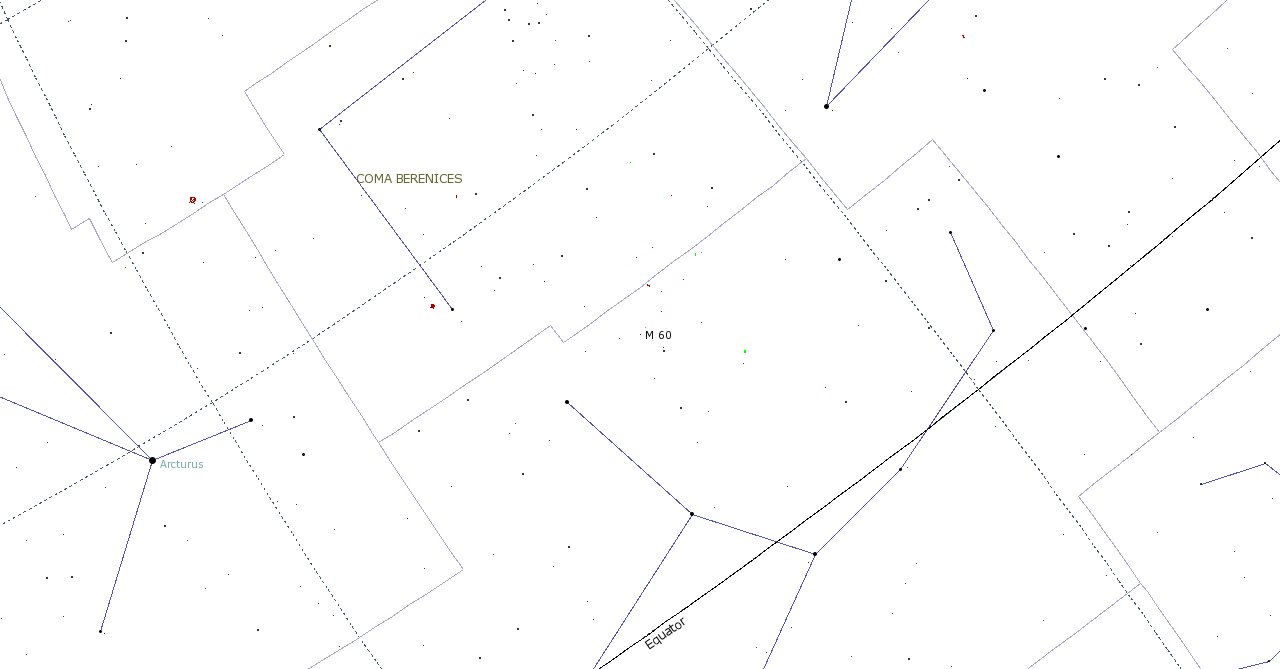
File:M60 map.png
From CityDeepSky
Revision as of 20:49, 3 October 2010 by Evilscientist (Talk | contribs)
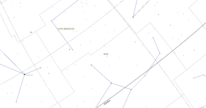
Size of this preview: 800 × 418 pixels.
Original file (1,280 × 669 pixels, file size: 29 KB, MIME type: image/png)
M60 Locator map
| |
This work is licensed under the Creative Commons Attribution Non-Commercial ShareAlike 3.0 License. In short: you are free to share and make derivative works of this work under the conditions that you appropriately attribute it, you do not use it for commercial purposes, and that you distribute it only under a license identical to this one. Official license Attribution: user:evilscientist |
File history
Click on a date/time to view the file as it appeared at that time.
| Date/Time | Thumbnail | Dimensions | User | Comment | |
|---|---|---|---|---|---|
| current | 20:49, 3 October 2010 | | 1,280 × 669 (29 KB) | Evilscientist (Talk | contribs) | M60 Locator map {{evilcopy}} |
- Edit this file using an external application (See the setup instructions for more information)
File usage
The following page links to this file: