File:M67 map.png
From CityDeepSky
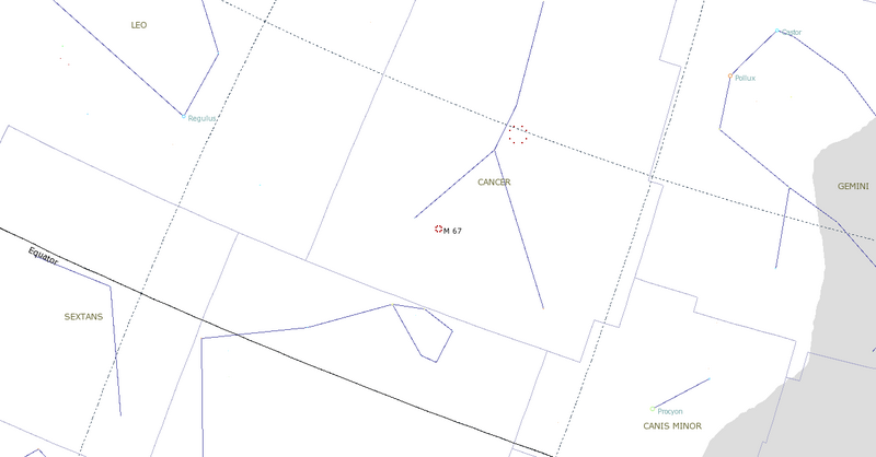
Size of this preview: 800 × 418 pixels.
Original file (1,280 × 669 pixels, file size: 29 KB, MIME type: image/png)
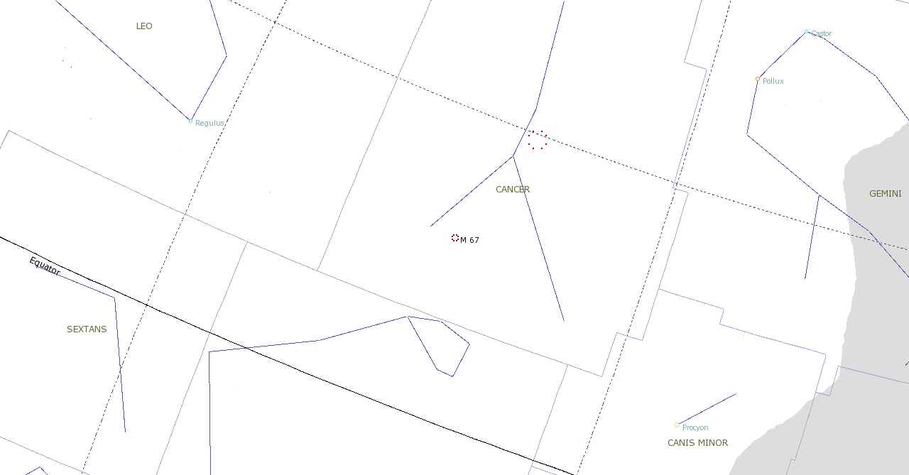
Locater map for the open cluster M67.
File history
Click on a date/time to view the file as it appeared at that time.
| Date/Time | Thumbnail | Dimensions | User | Comment | |
|---|---|---|---|---|---|
| current | 14:17, 25 January 2009 | | 1,280 × 669 (29 KB) | Evilscientist (Talk | contribs) | Locator map for the open cluster M67. |
| 16:24, 16 January 2009 | 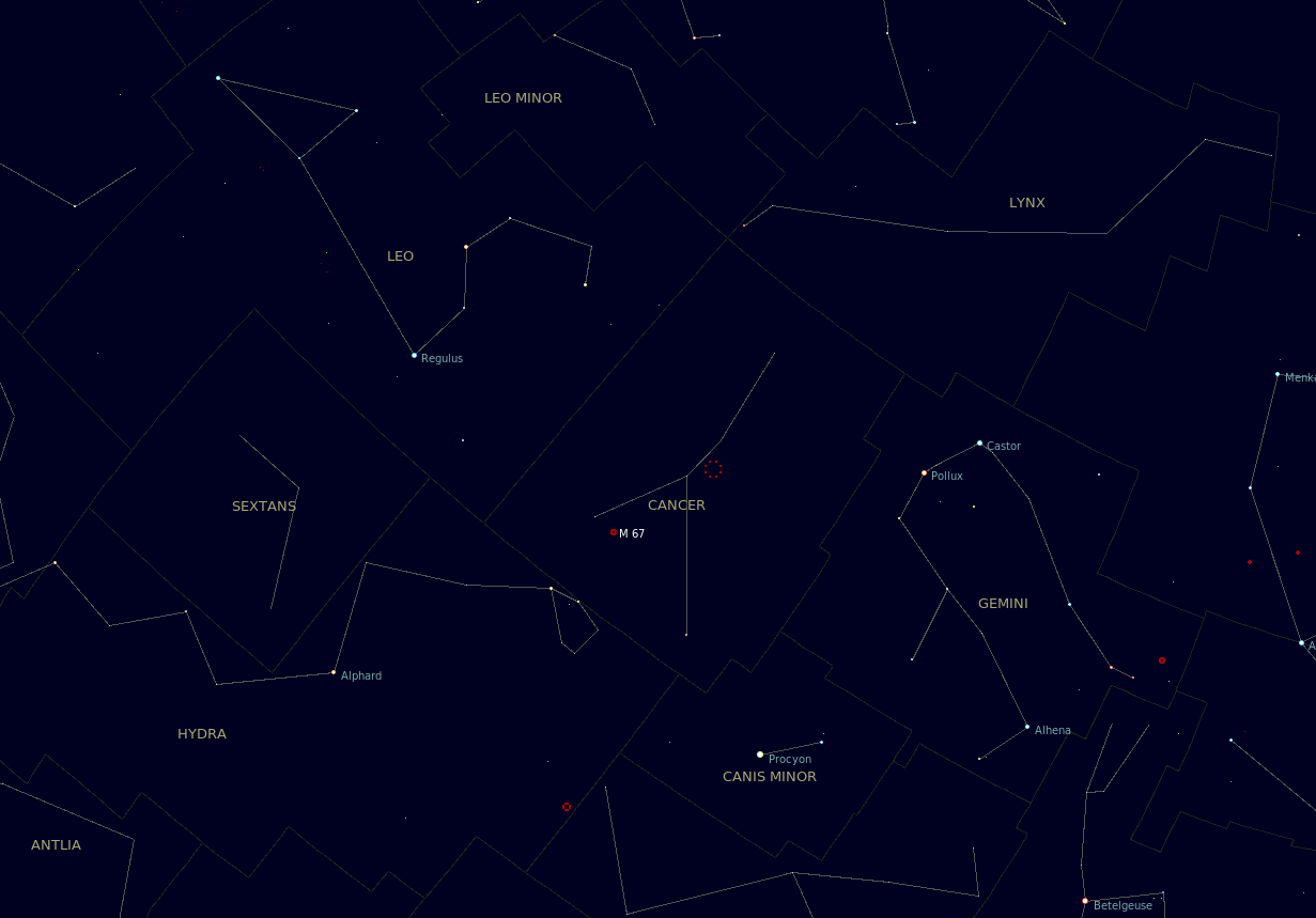 | 1,231 × 859 (45 KB) | Evilscientist (Talk | contribs) | Locater map for the open cluster M67. |
- Edit this file using an external application (See the setup instructions for more information)
File usage
The following 2 pages link to this file: